2D Volumetrics
2D Volumetrics
Based on geological analysis, users can perform reservoir calculator in 2D volumetrics module. There are 4 steps in GES, general settings, fluid contact, property settings and output. GES provide two different levels to meet the needs of different geological exploration stage, two different boundary settings to meet your project needs. And for parameters, users can use maps or constant value.
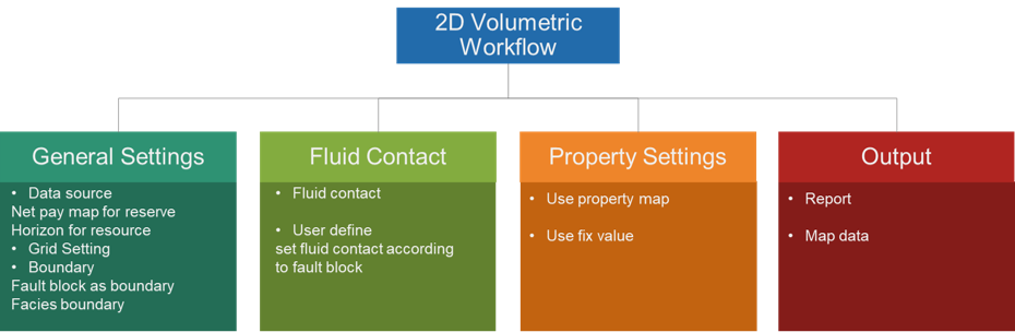
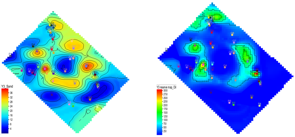
Fig. Sand map (left) and oil reservoir map (right)
Steps to perform 2D Volumetrics in GES:
· Go to Geological Evaluation scenario/Geology & Modeling Scenario → 2D Volumetrics → Reserve Calculator
· General Settings: Check Reserve Calculation, select a map for Sand Map or Check Resource Calculation, select maps for Top Surface and Bottom Surface → Set Grid increment → Choose closed line for Boundary → Choose maps for fault blocks or facies zones if needed
· Fluid Contact: Choose Polygons of gas/oil or user-defined
· Parameters Settings: → Choose Items → Set values for each parameters of every items
· Output: Set output file or surface
Message