Horizon Modeling
Horizon Modeling
The previous section shows how to create skeleton grids. Skeleton grids are important to control the quality of 3D grids, but are not actual 3D grids. Horizon modeling utilizes horizon data (usually from seismic) and well picks to generate 3D grids for the key zones specified by users. Meanwhile, horizon modeling updates the skeleton grids of the top, middle, and base horizons.
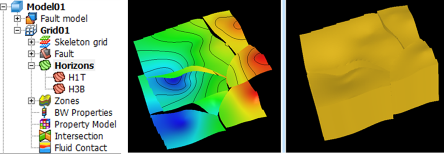
Fig. Horizon modeling results
Steps to perform Horizon Modeling in GES:
· Finish Fault Modeling and CornerPoint Gridding
· Go to Model pane → Click the grid just created → Click Horizon Modeling on Structure Modeling ribbon Bar
· Horizon settings: Add Row for each zone or Batch Select Data → Select data for Well Picks for each zone → Select methods for Algorithm Settings → Fault Settings → Well Settings
Message