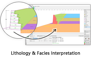
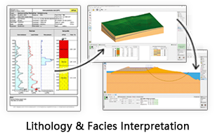
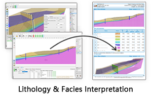
GES Modules
Model Upscalling
To account for the complexity of subsurface, a geological model usually contains millions, even tens of millions of grids. It is usually impractical to directly use the geological model in reservoir simulator due to simulation efficiency and cost concerns. Therefore, it is often required to upscale the geological model to meet simulation requirements.
Scale Up Structure
Before upscaling the model, the grid system needs to be coarsened in the first place. It is unnecessary to maintain similar stratigraphic framework and geometry between the finer and coarser grid system. However, a better similarity would shorten the time require to upscale the model.
Fig. Original grids (left) vs. Up-scaled grids (right, with regular grids)
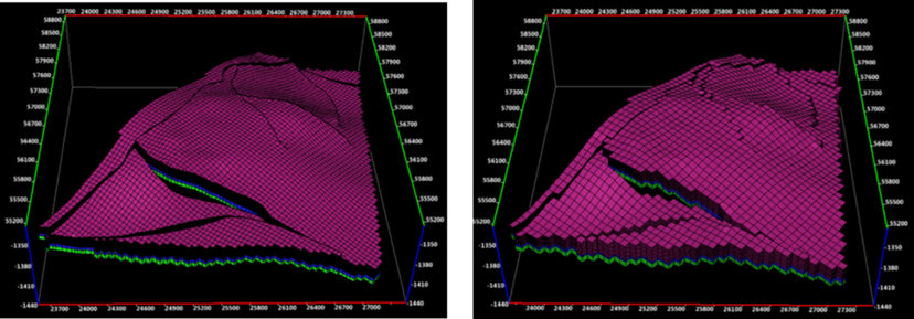
Fig. Original structure model (left) vs. Up-scaled structure model (right, with regular grids)
Steps to perform Scale Up Structure in GES:
· Go to Model pane → Click the model you want to scale up
· Go to Geology & Modeling Scenario → Reservoir Modeling → Model Upscaling → Click CornerPoint Gridding, a 2D window will be displayed → Click Create corner point grids → Input Grid Name → set I/J Increment → Click OK
· Click the new grid → Click Scale up Structure → Select data for Source Model → Click Source Model → Click OK
Scale Up Property
When the structure model has been up-scaled, property model can also be up-scaled and populated to the new property model.
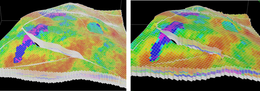
Fig. Original porosity model (left) vs. upscaled porosity model (right)
Steps to perform Scale Up Property in GES:
· Click the new grid → Click Scale up Property → Select data for Source Model
· Select property model you want to scale up for Property Model (Source) → Input property name for Property Model (Scale up) → Click Add
· Select algorithm for Scale up → Select Matching Method → Click OK